Intensity imaging
Rasterized visual representation (raster format) with intensity values of a set of points from the LiDAR data.
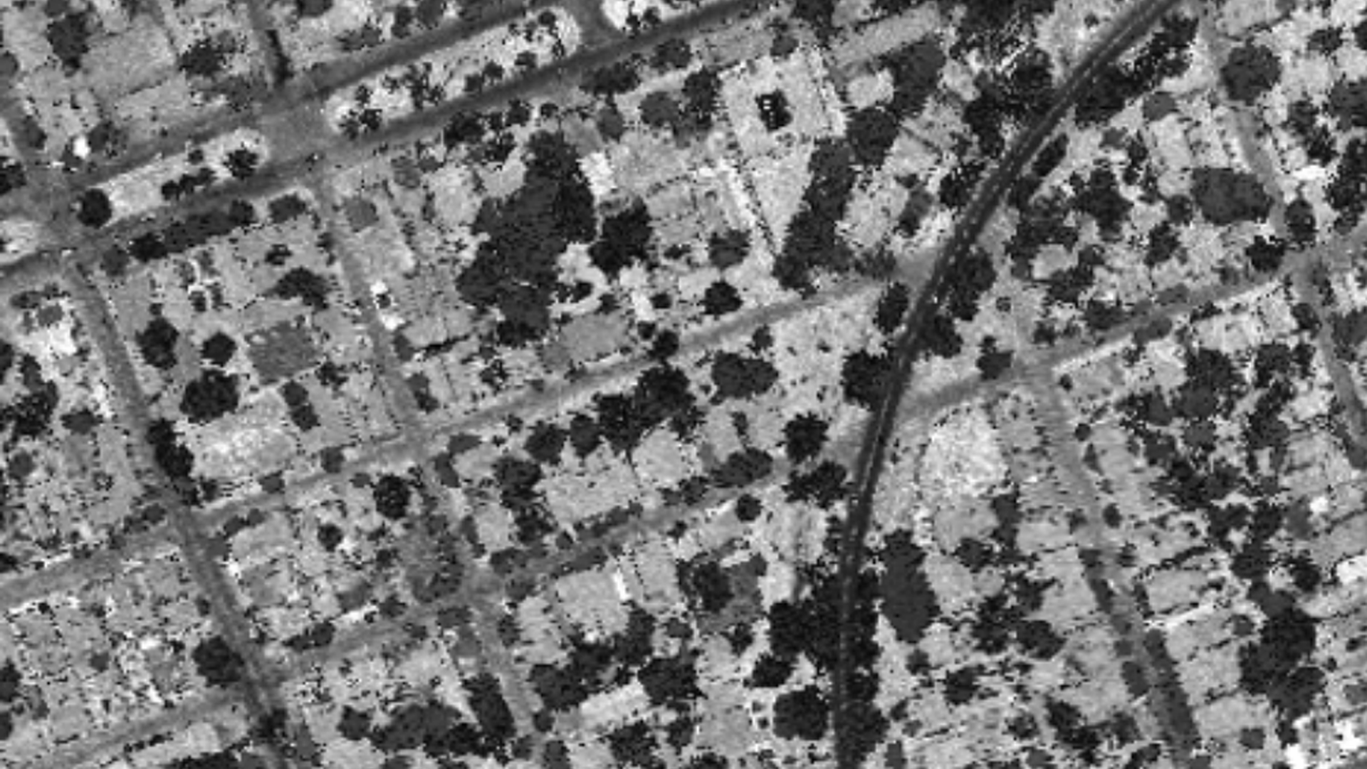
Intensity imaging
LiDAR not only captures the geometric information X, Y, Z of the elements present in the study area, within the stored information there is also the intensity value with which the infrared wave returns from the object with which it interacts. This information can be represented in different color ranges offering a result similar to that offered by a near infrared image.