DSM-DTM
Visual representation of the height values that allow the characterization of the forms of the relief and the elements or objects present on the earth's surface.
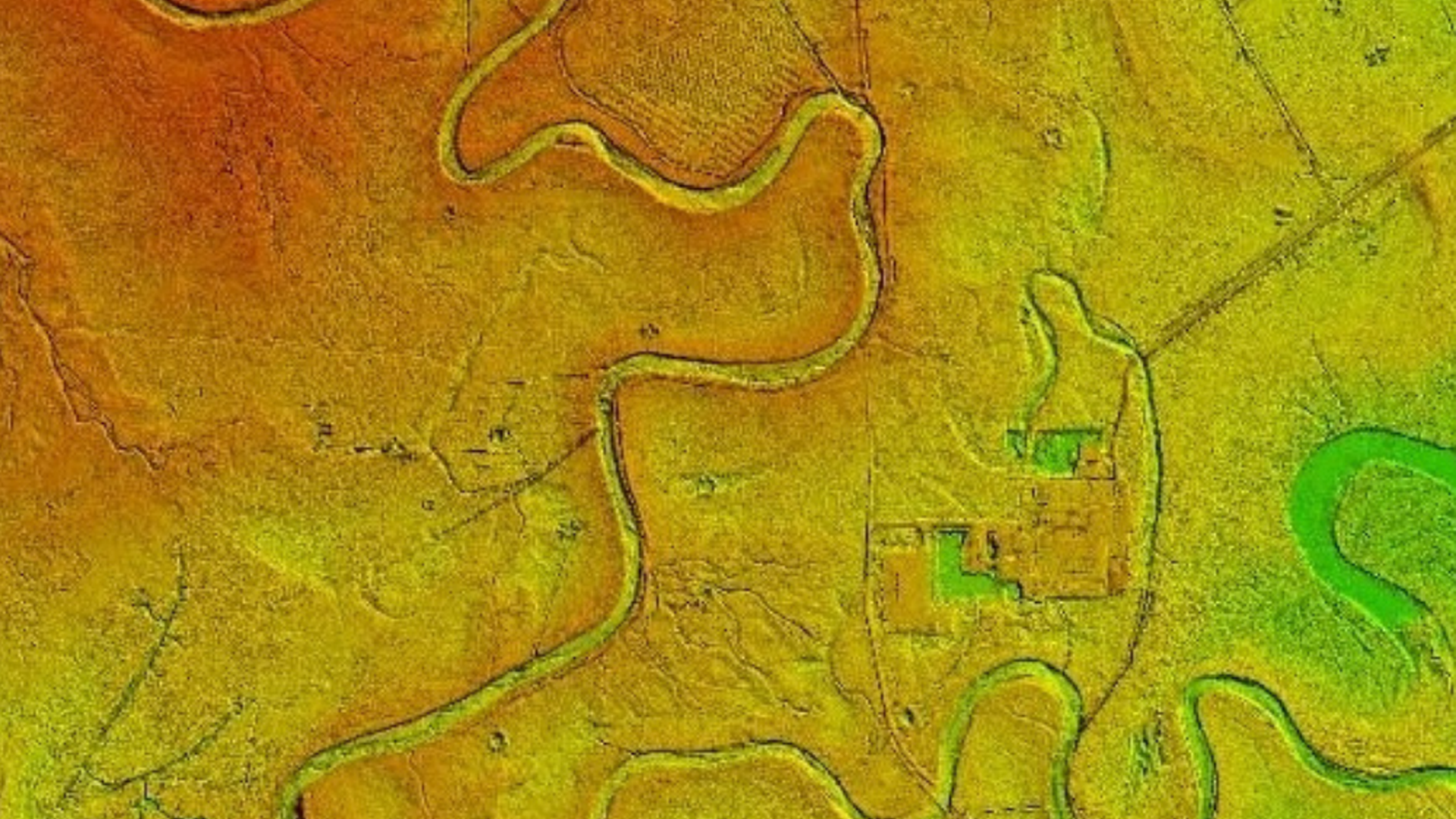
Digital Terrain Model (DTM)
Quantitative description in digital format which describes the surface of a territory by means of a dense set of points with coordinates north, east and height, without consider the elements on the surface such as trees, civil works or buildings on it.

Digital Surface Model (DSM)
Quantitative description in digital format that spatially describes the surface of a territory through a dense set of points with coordinates north, east and height, which consider the elements on the surface such as trees, civil works or buildings on it.