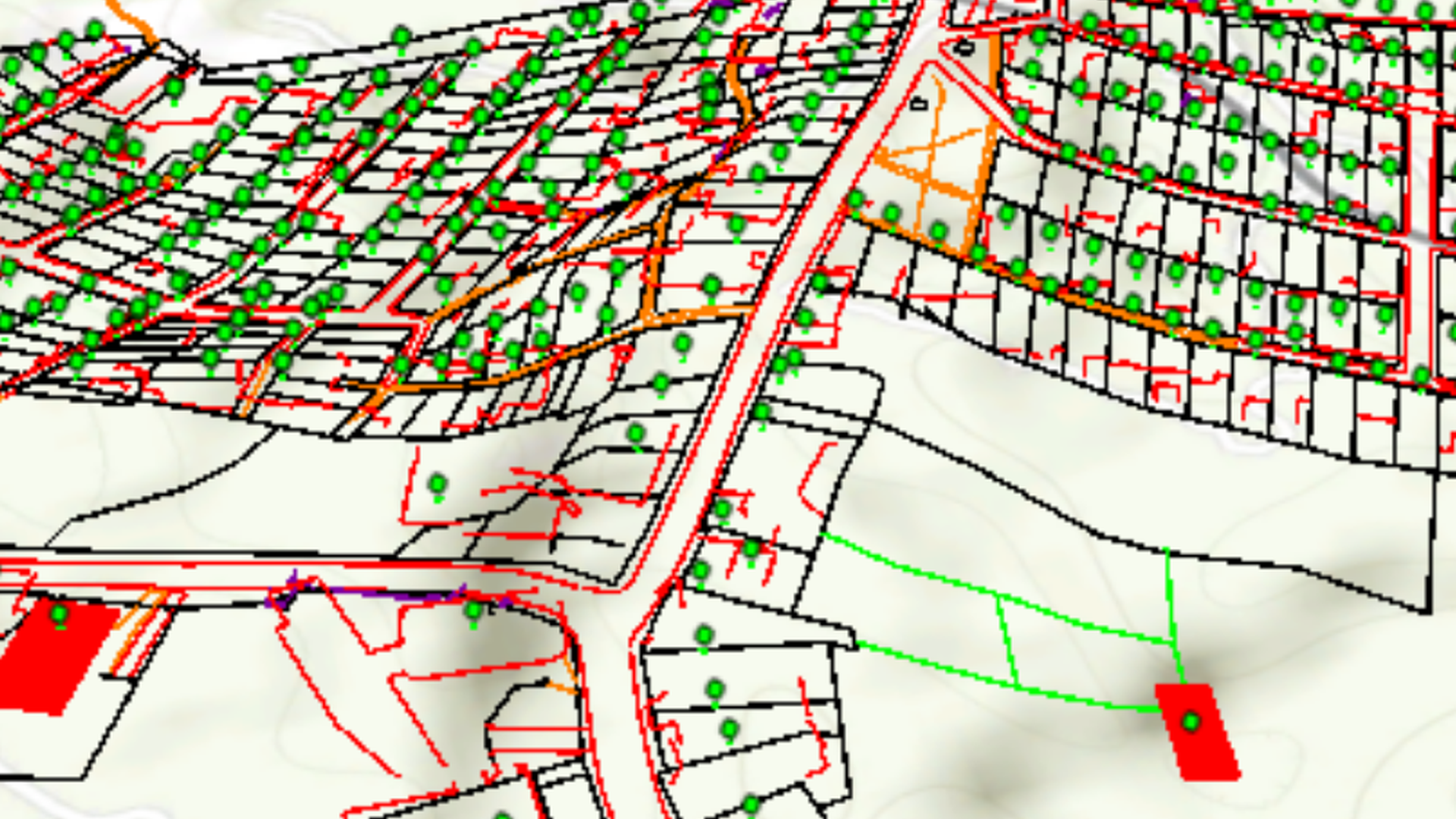
Three-dimensional vector representation of the elements on the earth's surface that records the real height values of these elements.
Cartographic Restitution (3D Cartography)
Base cartography captured from aerotriangulated photogrammetric blocks at differents scales in three dimensions (3D) under the parameters established by Intituto Geográfico Agustín Codazzi - IGAC or established in the project, for this type of work.