3D Simulation
3D modeling and LIDAR data processing to obtain topography and digital surface models for the purpose of cities and structures modeling.
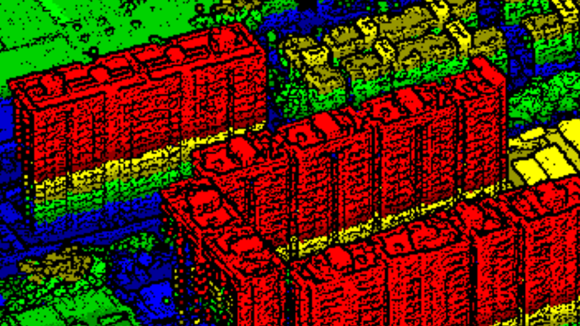
3D Simulations
We carry out 3D modeling and LIDAR data treatments to obtain topography and digital surface models for modeling cities and structures. We have experience in developing topographic studies with LIDAR in urban areas and in remote areas. The LIDAR data allow the terrain to be modeled identifying the vegetation and infrastructures of the terrain itself. This type of data has applications in urban planning, simulation and disaster planning, forestry, environmental and landscape studies. The possibility of differentiating and modeling terrain, buildings, infrastructures and vegetation separately allows the inclusion of the most appropriate data for each study as well as knowing the effects of each of them on the result.
