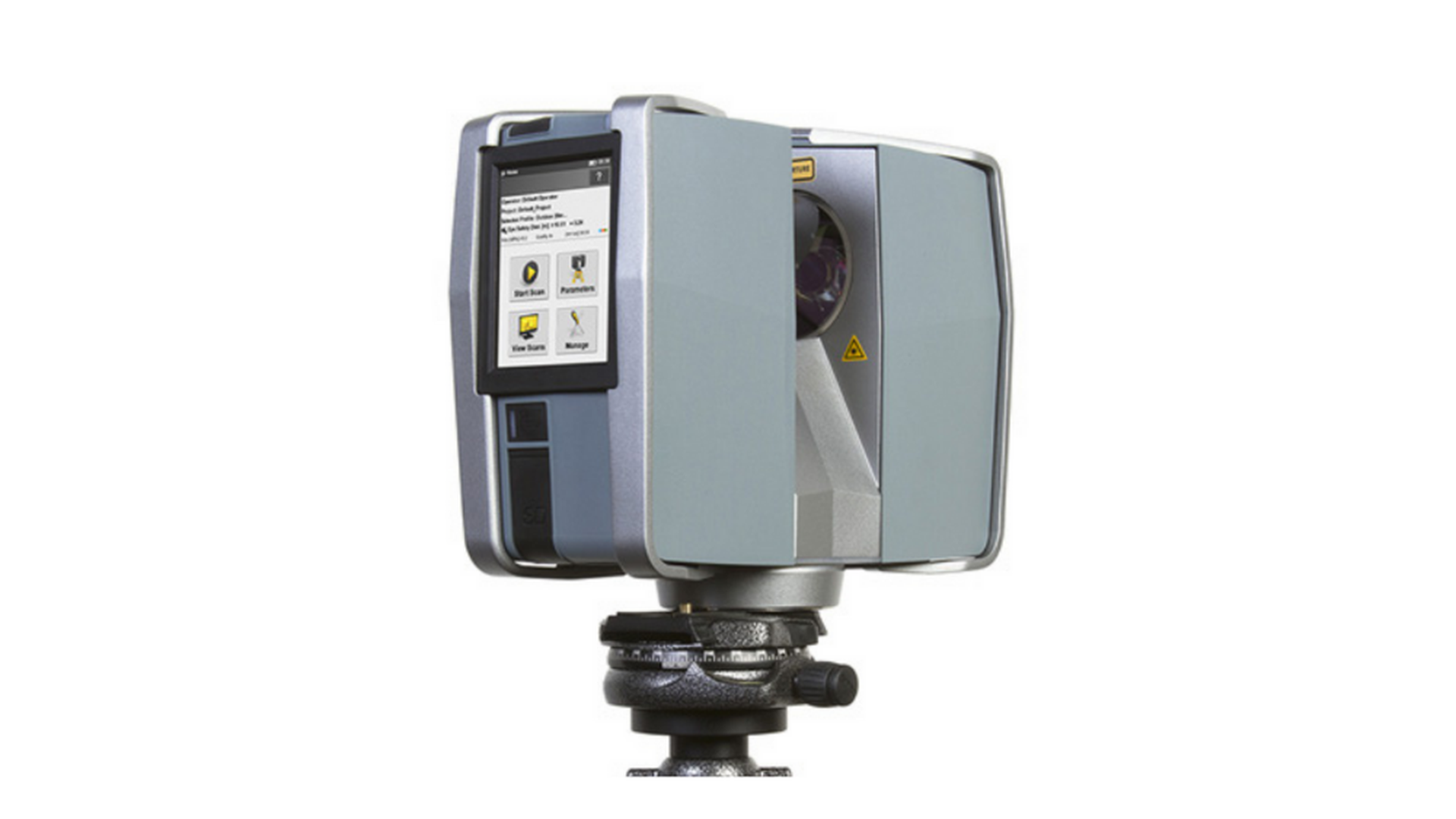
Ground-based LiDAR equipment
Terrestrial lidar collects very dense and highly accurate points, which allows precise identification of objects. These dense point clouds can be used to manage facilities, conduct highway and rail surveys, and even create 3D city models for exterior and interior spaces
TRIMBLE TX5

The Trimble TX5 high-speed 3D terrestrial laser scanner can measure speeds of up to 976,000 dots per second at a distance of up to 120 meters. The system also includes an automatic and integrated color camera with 70 megapixel parallax-free color overlay. As a final result, detailed three-dimensional col-or images with photographic realism consisting of millions of measurements are obtained.