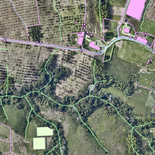
Classified LiDAR Information
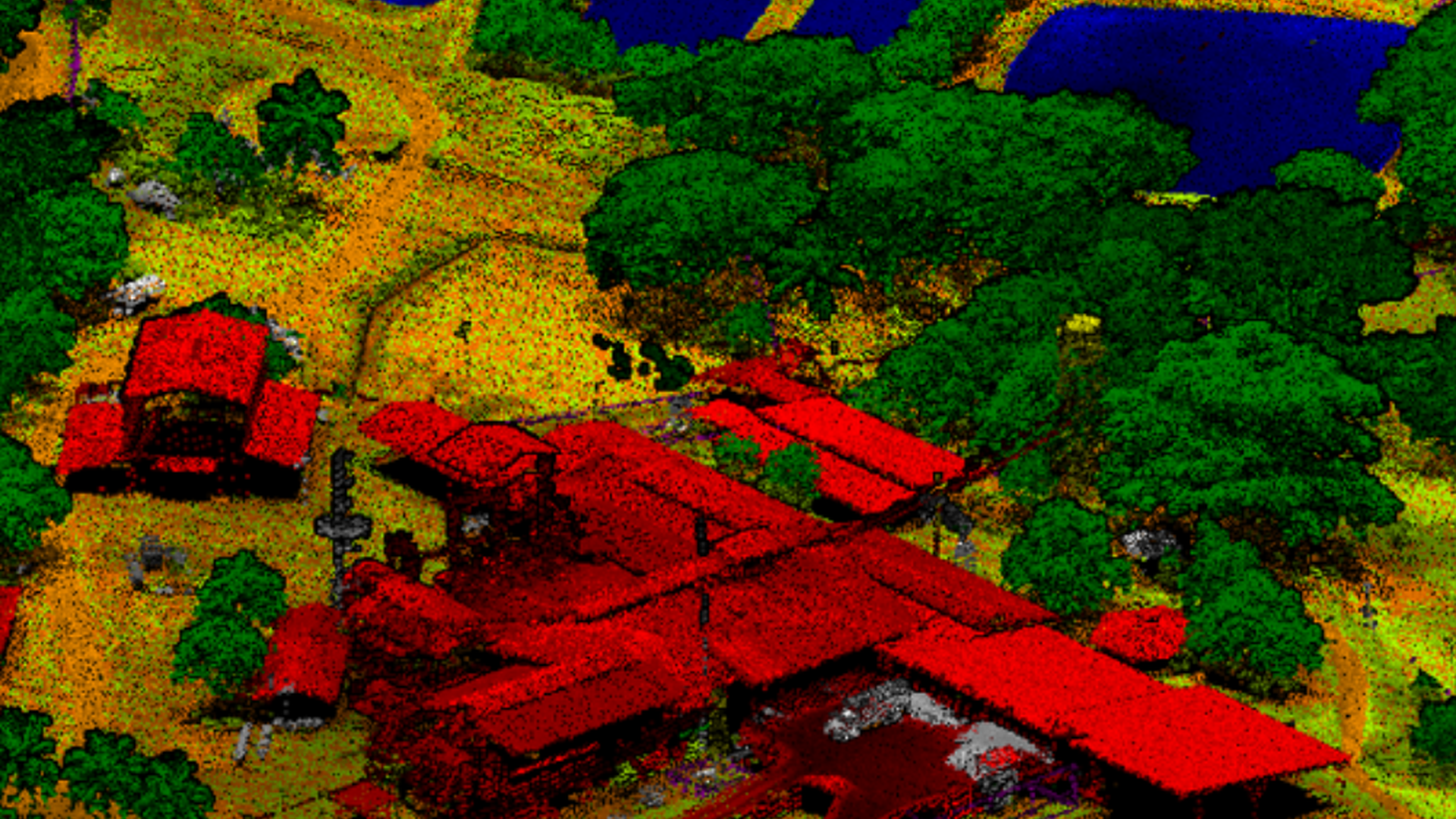
Classification of points by levels
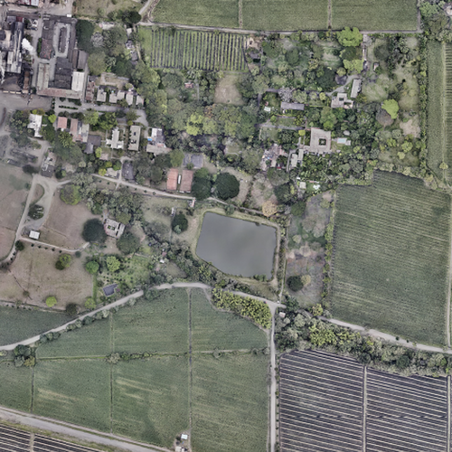
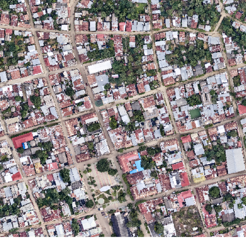
LiDAR is an active remote sensing technology that makes it possible to measure the distance between a sensor and an object by emitting electromagnetic waves. LiDAR calculates the distance between the sensor and the object of study by measuring the time it takes for the emitted wave to return, as well as the direction from which the wave returns. The result of this procedure is a point cloud with X, Y, Z coordinates describing all the elements present on the study surface. The LiDAR information classification process consists of discriminating the levels corresponding to each of the captured points. It allows: Heights of buildings and structures, Determination of built areas, Identification of risks, Identification of road infrastructure, Identification of electrical, transport and service infrastructures, Georeferencing of urban and rural furniture and equipment, Identification of crops, Determination of prone areas a flood or landslides.